
L международная выставка-презентация
научных, технических, учебно-методических и литературно-художественных изданий
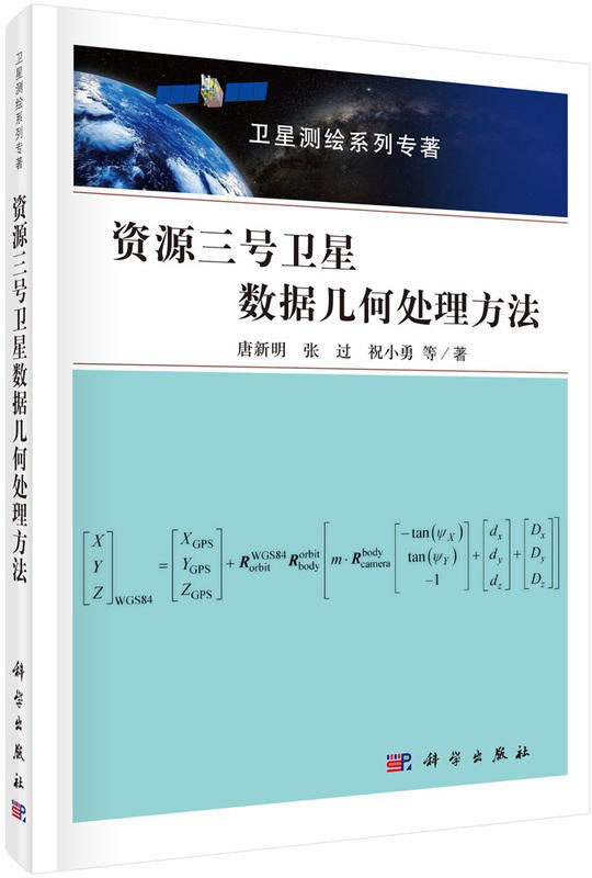
ZY-3 Satellite Data Geometry Processing Method
| Группа | Научная литература |
|---|---|
| Область науки | Технические науки |
| Название на русском языке | ZY-3 Satellite Data Geometry Processing Method |
| Авторы на русском языке | Tang Xinming, Zhang Guo, Zhu Xiaoyong |
| Вид издания на русском языке | Монография на кит. яз. |
| Издательство на русском языке | Science Press, 2018. - 232 с. |
Резюме
This book is the second volume of the «Satellite Mapping Series Monograph». It introduces the image geometric rectification and data processing methods for ZY-3 satellite data. The main contents include time and coordinate system, post-orbit determination technology, precise attitude processing technology, satellite geometry calibration method, satellite imaging model establishment and data processing.
Geometric error processing is the center for mapping satellites. The main contribution of this book is the geometric calibration methodology for 1:50000 scale satellite mapping. The basic idea is to minimize the systematically geometric errors of the satellite images using the aerial photos. Based on image matching method of frequency domain between higher and more accurate images of aerial images with satellite images at the same place, the book sets up the rotation matrix between sensors and platform of ZY3 satellite. Another method is also adopted by using survey marks in the calibration field for comparison. How to set up these marks in the field is also described for ZY3 satellite geometric calibration. It is also proposed a virtual line array method for image distortion rectification. A post-altitude method is applied for star tracker and gyro data processing. The accuracy of satellite orbit is compared by use of satellite laser ranging system with the post-processing data on orbiting. Through analysis of rigorous imaging model and orbit calculation, post-altitude processing, data calibration, the RPC model is established for each satellite image. The whole methods are totally adopted for ZY3 satellite image processing. In general, the accuracy of ZY3 satellite images can reach up to 15 meters horizontally and 10 meters for elevation, without any ground control point. The results show the universality and robustness through thousands of stereo image processing.
This book can be used as a reference for mapping, remote sensing, photogrammetry and other related professional engineering and technicians.

МЕДАЛЬ «ЗА ВЕРНОСТЬ ТРАДИЦИЯМ ОТЕЧЕСТВЕННОГО ОБРАЗОВАНИЯ» С УДОСТОВЕРЕНИЕМ