L международная выставка-презентация
научных, технических, учебно-методических и литературно-художественных изданий
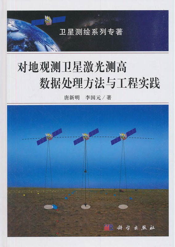
Data Processing Method and Engineering Practice of Satellite Laser Altimetry for Earth Observation

| Группа | Научная литература |
|---|---|
| Название на русском языке | Data Processing Method and Engineering Practice of Satellite Laser Altimetry for Earth Observation |
| Авторы на русском языке | Tang Xinming, Li Guoyuan |
| Вид издания на русском языке | Монография на кит. яз. |
| Издательство на русском языке | Science Press, 2019. - 186 с. |
Резюме
Satellite Laser altimetry is a relatively new technology for earth observation. ZY3–02 satellite is equipped with a simple laser altimetry for elevation acquisition. The laser system emits one single beam at 1064nm with 2 Hz frequency, and forms about 70 meters foot print on the ground. The system can easily get the ranging distance from satellite to the ground.
This book is a summary of the research results on laser altimetry data for earth observation satellites. It analyzes the current status and development trend of satellite laser altimetry, describes satellite laser altimetry data processing technology, studies the in-orbit geometry calibration method of satellite laser altimeter, and proposes an automatic extraction algorithm for generalization of laser elevation control points. It shows how to build a satellite laser altimetry data processing system, and how to carry out research on laser altimetry data for forestry tree biomass measurement, polar ice cap monitoring, etc. Finally, next-generation single-photon laser mapping satellites are prospected.
A simple satellite laser altimetry system is proposed for ZY3–02 satellite, which just measures the distance from satellite to the ground. The book introduces how to build a calibration field for laser sensors, how to detect the laser foot print on the ground, and how to process the laser data, and how to decrease the errors of laser ranging. Through the practices of ZY3–02 satellite, the whole satellite laser altimetry processing system is established and the ZY3–02 laser data are totally handled. The results show that the elevation accuracy of elevation is within 1m in the planar area, and these data can be adopted for various applications including topographic mapping, etc.
The book is suitable for scientists and engineers engaged in surveying, remote sensing, geo-information and related fields. It can also be used as a high-level teaching and research materials for colleges and universities.

МЕДАЛЬ «ЗА ВЕРНОСТЬ ТРАДИЦИЯМ ОТЕЧЕСТВЕННОГО ОБРАЗОВАНИЯ» С УДОСТОВЕРЕНИЕМ