L международная выставка-презентация
научных, технических, учебно-методических и литературно-художественных изданий
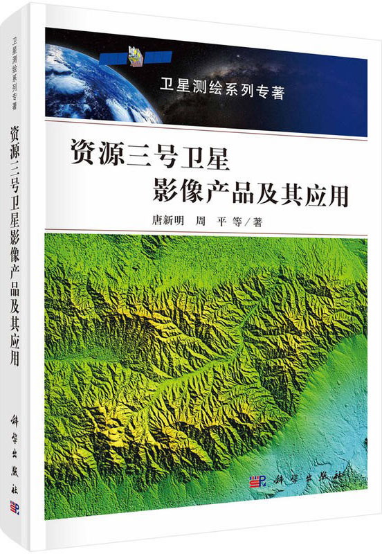
ZY-3 Satellite Imagery Product and its Application

| Группа | Научная литература |
|---|---|
| Название на русском языке | ZY-3 Satellite Imagery Product and its Application |
| Авторы на русском языке | Tang Xinming, Zhou Ping |
| Вид издания на русском языке | Монография на кит. яз. |
| Издательство на русском языке | Science Press, 2018. - 258 с. |
Резюме
This book is the third volume of «Satellite Surveying and Mapping Series Monograph». Based on the introduction of worldwide major mapping remote sensing satellite imagery products, the book establishes a hierarchical classification system for ZY-3 satellite imagery products, and describes the processing technology and application for ZY-3 satellite imagery products. The main contents include definitions of basic mapping image products and advanced mapping image products, their producing and validation methods, mass image management, establishment of service platforms and the application fields of above products.
The book demonstrates how to set up an integrated system for satellite mapping. The key is to design a productivity line for various image products. The book shows the data process from cataloging images, RPC model generation, automatic basic data processing, advanced product processing, database setup and various applications based on ZY3 images. Radiometric processing and geometric processing are emphasized in the book which includes processing long-strip and singe scene. The book shows the whole processes of ZY3 products, including basic image products, stereo image products, digital surface model, digital line graph, and thematic products such as vegetation index, leaf area index, etc. The data management system is designed and developed to manage all image products, metadata, derived products and related parameters. The data services system is developed to serve the users worldwide. The system can generate a map on-line.
The book is actually the summary of ZY3 data processing, data management and data distribution system. It also shows the potentiality of ZY3 product applications. It has strong practicability and can be used as a reference book for engineers and technicians in surveying, remote sensing, photogrammetry and other related fields.

МЕДАЛЬ «ЗА ВЕРНОСТЬ ТРАДИЦИЯМ ОТЕЧЕСТВЕННОГО ОБРАЗОВАНИЯ» С УДОСТОВЕРЕНИЕМ