L международная выставка-презентация
научных, технических, учебно-методических и литературно-художественных изданий
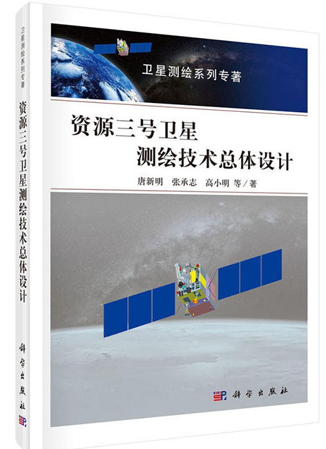
Overall Design of ZY-3 Satellite Mapping Technology

| Группа | Научная литература |
|---|---|
| Название на русском языке | Overall Design of ZY-3 Satellite Mapping Technology |
| Авторы на русском языке | Tang Xinming, Sun Chengzhi, Gao Xiaoming |
| Вид издания на русском языке | Монография на кит. Яз. |
| Издательство на русском языке | Science Press, 2018. - 244 с. |
Резюме
This book is the first volume of «Satellite Mapping Series Monograph». It is aimed at the overall design methodology of China’s ZY-3 satellite. Based on the introduction of the development of domestic and foreign optical mapping and remote sensing satellites, this book analyzes the requirements of 1:50,000 scale topographic map, studies the error sources of satellite stereo mapping, including the influences of orbit, platform attitude, sensor distortion, image compression and other factors. By using stereo image simulation, the overall technical parameters for 1:50000 scale stereo mapping satellites are proposed.
Considering the practical data acquisition, ZY3 satellite is planned by using of a triple linear array system for stereo mapping. ZY3–01 is equipped with three panchromatic cameras. The nadir camera is designed at 2.1 meters, with forward and backward cameras are 3.5 meters. Another multi-spectral camera has four bands, namely blue, green, red and near-infrared.
The book concentrates on the overall design of mapping satellites at 1:50000 scale. It systematically analyses all most all errors from sensors, platform and data processing. The methodology of image simulation considers not only the radiometric effects, but also geometric errors. The best resolutions and the suitable geometry parameters are proposed for 1:50000 scale mapping through the systematic analysis. The book derives a lot of formula in the field of satellite photogrammetry. The results through in-orbit testing shows the correctness of the design and the effectiveness of ZY3 satellite. It indicates that through the systematical method both from space and ground processing, the error of the image can be controlled to a reasonable level.
The book is not only a theoretic analysis but also shows the practices of these methods. It can be adopted as a reference for surveying, remote sensing, photogrammetry and other related professional engineering and technicians.

МЕДАЛЬ «ЗА ВЕРНОСТЬ ТРАДИЦИЯМ ОТЕЧЕСТВЕННОГО ОБРАЗОВАНИЯ» С УДОСТОВЕРЕНИЕМ